Project Title:
National Ecological Network Germany
Project Description:
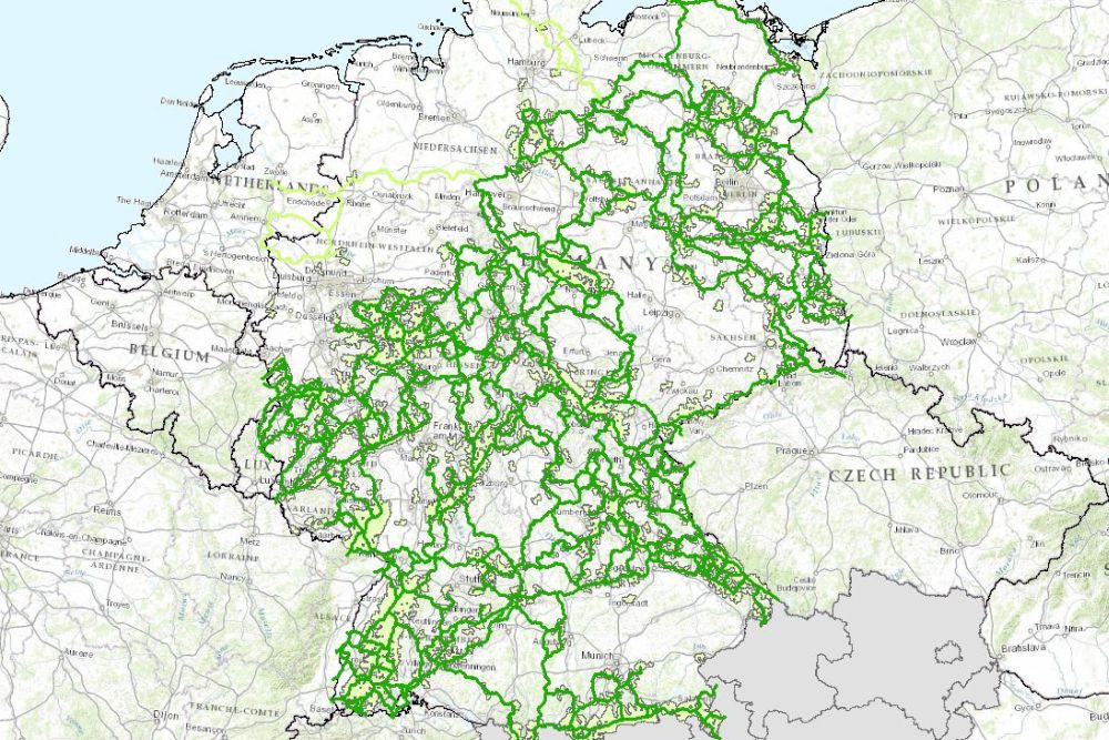
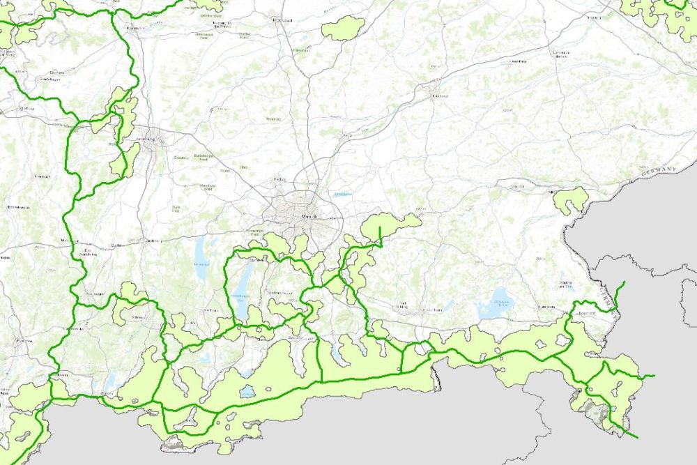
The map with the nationally significant functional areas and axes in Germany described in Chapter B 1.2.1 is shown here. A colour-coded distinction is made between dry, wet and forest habitats and the so-called "Green Belt". The functional areas are further divided into two distance classes: For dry habitats up to 250 m and 1,500 m respectively, for wetland and forest habitats up to 100 m and up to 500 m respectively. Also marked are the forest areas and woody habitats found between the nationally significant functional areas.
The location of international connecting points is also shown: On the one hand, the transboundary biotope network axes are shown linearly, and on the other hand, the transboundary biotope network areas are shown over a wide area.